Showcase
Image GalleryŌtaki to north of Levin: Te Pae o Tararua Highway
Beca NZTA Tonkin + Taylor Waka Kotahi WSP New Zealand Limited
Showcase
- NZILA Category Winner Landscape Planning and Assessment — 2026
Nomination statement
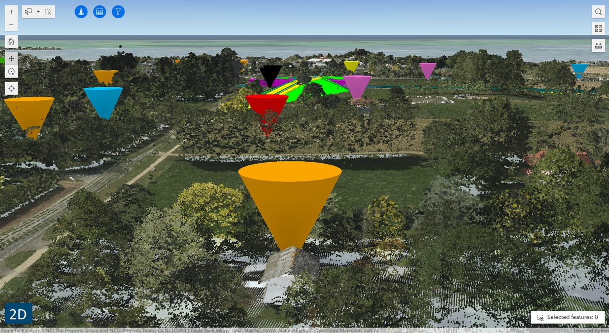
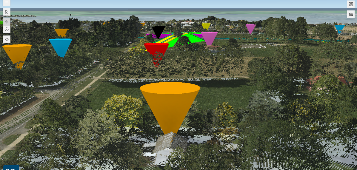
Project Context: The Ōtaki to north of Levin: Te Pae o Tararua (Ō2NL) project is a 24-kilometre highway currently under construction as the final stage of the Wellington Northern Corridor for NZ Transport Agency Waka Kotahi by two project Alliances. Following an Environment Court decision, the project was required to reassess visual effects for over 400 dwellings within 400 metres of the alignment — across a 1,920-hectare visual catchment — within a six-month window. Innovative Methodology: The Alliance team developed an integrated GIS-based, community-centric assessment methodology and data capture tool. Instead of deriving viewsheds from the highway centreline, observer points were positioned at each dwelling's primary outlook, using high-resolution drone-flown LiDAR and automated conversion of 3D design models into geospatial formats. Two scenario models — a worst-case "scorched earth" scenario and a "conservative" approach (retaining exisiting vegetation and structures )— enabled design options testing before commitment. A bespoke ArcGIS Experience Builder viewer was developed with 2D and 3D data and an embedded 25-question assessment form, allowing multiple assessors to work simultaneously across both the North and South Alliances. Outcomes & Impact: The methodology delivered consistency, scalability, and transparency across a complex multi-team effort. The consenting authority fully accepted the assessment with no requests for further information. The digital-first workflow reduced site visits, carbon emissions, and paper-based processes. The framework is designed for whole-of-life asset management and is scalable to other large linear infrastructure projects including rail and water management networks.
Judges' citation
Ōtaki to north of Levin: Te Pae o Tararua Highway demonstrates an innovative and highly effective landscape assessment methodology developed in response to an exceptionally challenging Environment Court requirement. Faced with reassessing visual effects for more than 400 properties across a large and complex infrastructure corridor within a constrained timeframe, the project team devised a sophisticated GIS-led approach that delivered consistency, transparency and scalability.
By combining high-resolution LiDAR, 3D modelling, digital assessment tools and a bespoke web-based platform, the team established a robust framework that enabled multiple practitioners to undertake rigorous and repeatable assessments. The methodology balances technical excellence with practical application, reducing fieldwork while improving confidence in outcomes.
Accepted in full by the Environment Court, this work provides an innovative and transferable model for future infrastructure projects, demonstrating how landscape assessment can effectively respond to complex consenting and design challenges at scale.
Client: NZ Transport Agency Waka Kotahi (NZTA)
Alliance participants (visual effects assessment team): Aurecon – Bruce Mckenzie, Jamie Till, Jo Chun. Beca – Emma Content, Ben Peyton. Tonkin & Taylor – Daniel Le Roux, Christian Utech. WSP – Holly Stitt, Heather Wilkins.
All images